Notice: unserialize(): Error at offset 202 of 379 bytes in /data/sites/web/studiotopograficofossatiit/htdocs/public/www/sito/include/_funzioni.php on line 151
Notice: unserialize(): Error at offset 253 of 291 bytes in /data/sites/web/studiotopograficofossatiit/htdocs/public/www/sito/include/_funzioni.php on line 155 Studio Topografico Fossati
Notice: unserialize(): Error at offset 253 of 291 bytes in /data/sites/web/studiotopograficofossatiit/htdocs/public/www/sito/set/_art.php on line 98
Innovative technologies for land survey
using aerial Drones (UAV)!
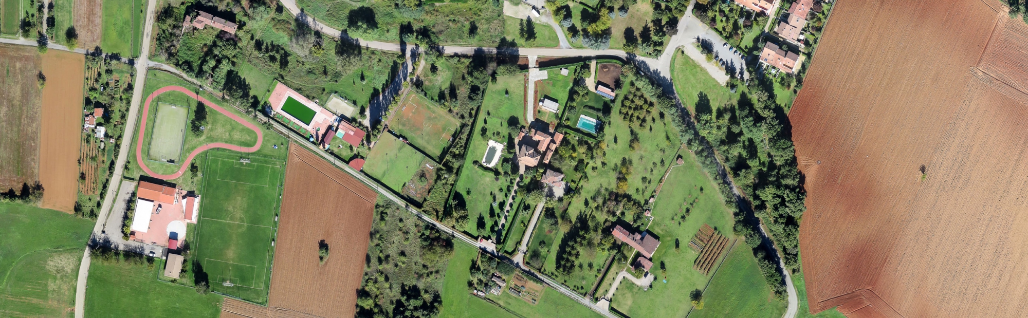
Accurate aerial surveys at low altitude
We provide digital orthophoto , DTM terrain data model, digital models of the surfaces DSM, 3D contour and more of large areas
Quickly and more cheaper compared to other technologies.
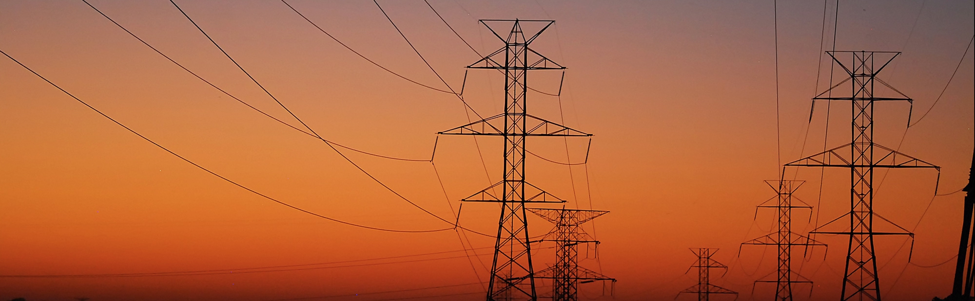
We provide support for all phases of transmission line design.
Starting from the line route study up to the complete topographical surveys, from the Tower Design by TOWER software
up to the complete project design by using the PLS-CADD software.
Assistance for the construction activities with accurate tower pegging at site, stringing chart of conductor, OPGW, EHS, Material table and more...
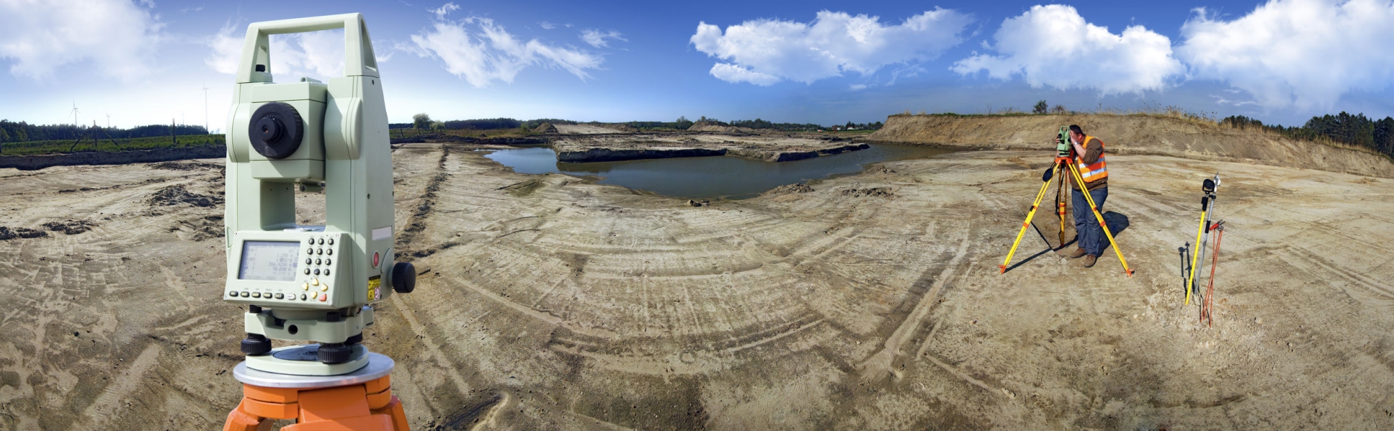
High topographical survey accuracy using the latest equipments technologies in order to support all construction phases.
We provide services to companies in Italy and abroad!