EN
IT
Home
About us
Services
Projects
Contacts
Studio Topografico Fossati
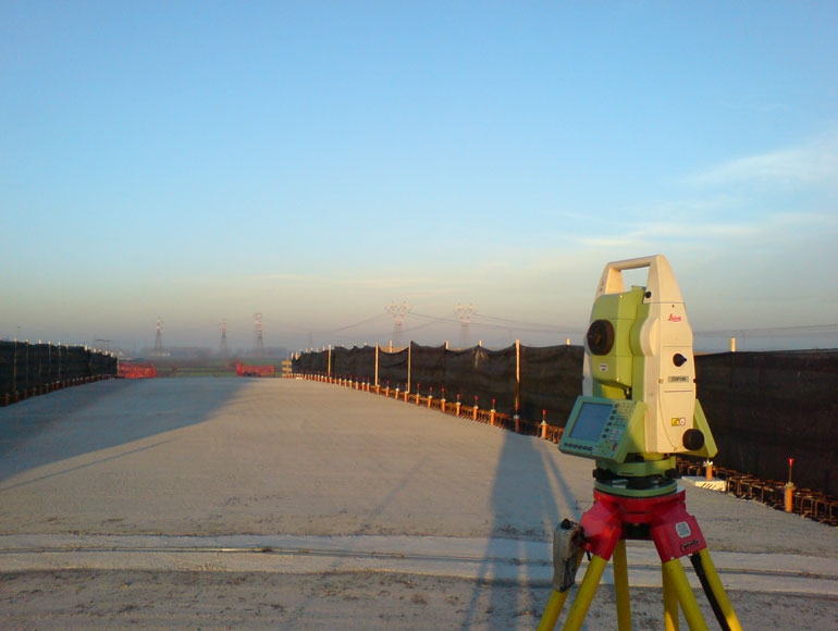
Topographical survey
BACK TO SERVICES LIST
Topographical survey
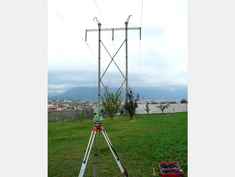
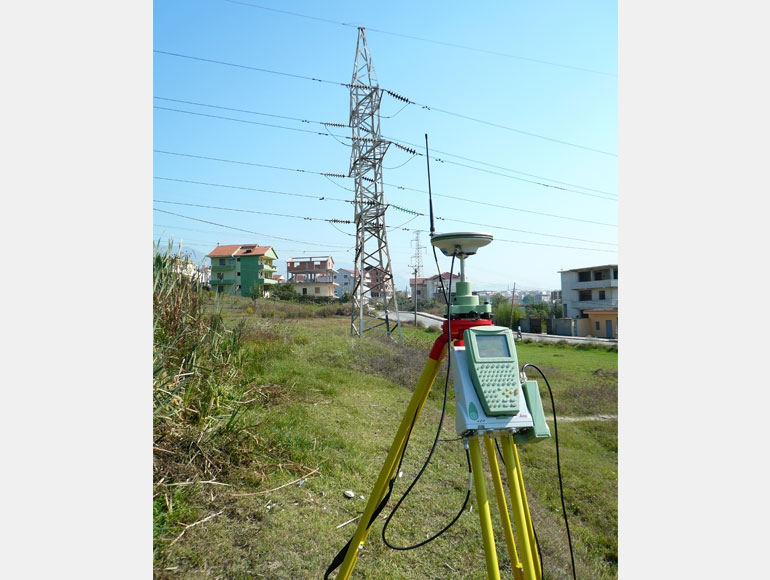
Materialization of accurate geodetic networks or control points with professional GPS in static mode and post-processing
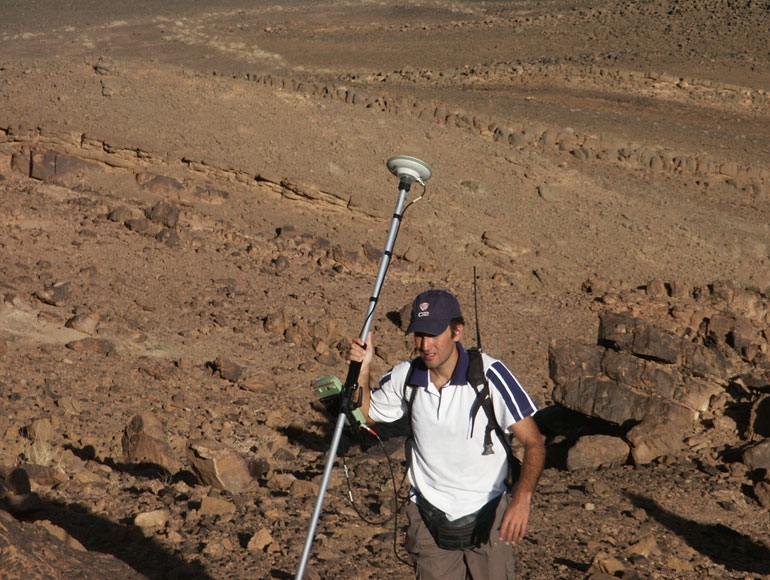
Detailed surveys using professional GPS in classic RTK mode (Real Time Kinematic with Base + Rover) or with SmartNet.
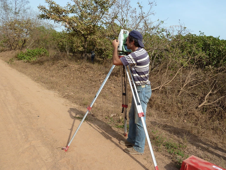
Land surveys to provide 3D terrain models (DTM), contour lines models, profile and cross section, elevation plan and volume calculations.
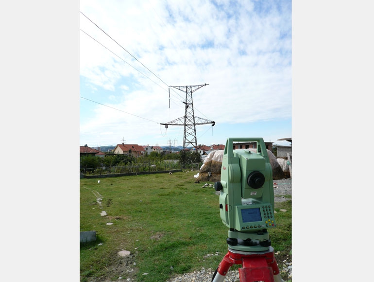
Detailed over head transmission lines surveys and provide very accurate Plan&Profile for the design.
Road surveys, railway surveys, pipeline surveys....
Urban surveys, boundary surveys, construction surveys...
High precision leveling and traversing surveys.
Terrain risk assessment surveys.
Land surveys and mapping for renewable energy like eolic and solar energy.
ASK FOR A QUOTE
Need a quote for a service? Contact us for a free custom quote.
Contact us
Questo sito web utilizza i cookie per migliorare la navigazione. Utilizzando il sito si intende accettata la Cookies Policy.
Maggiori informazioni
OK