Laser scanning 3D

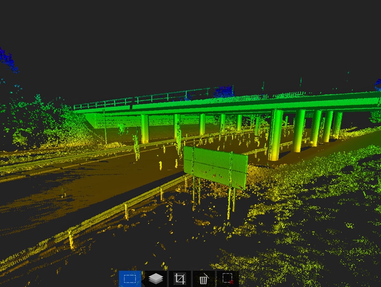
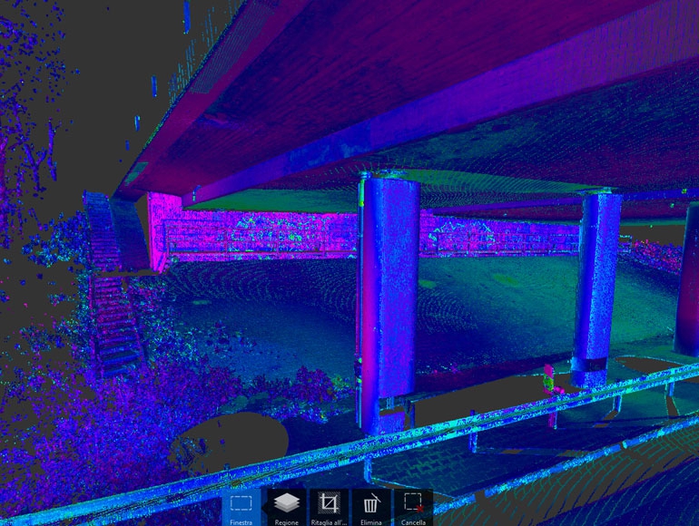
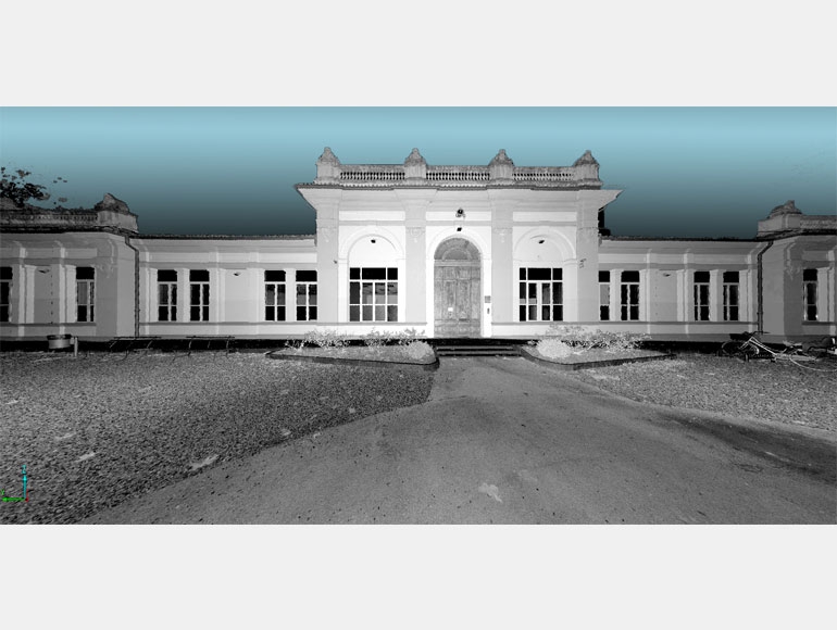
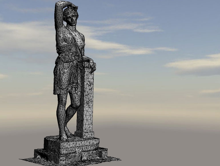
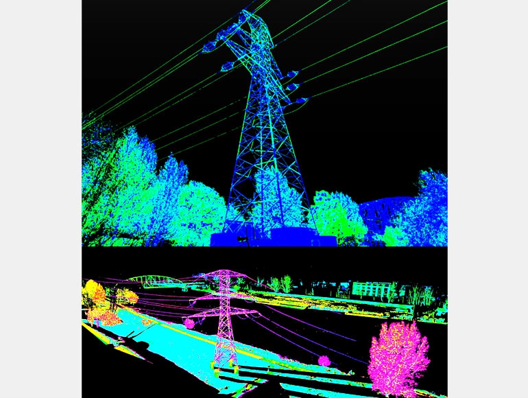
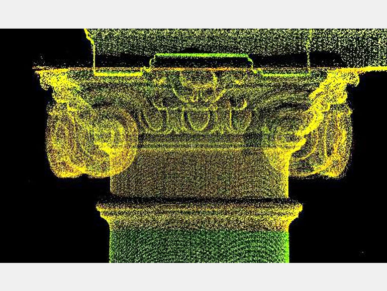
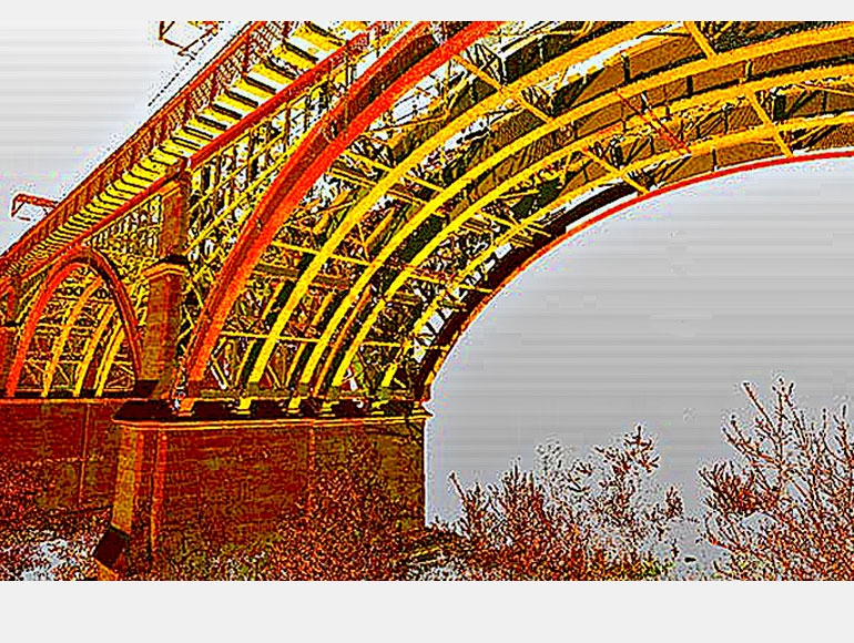
    The laser scanner survey represents an innovative measurement system that allows detection of geometric objects and surfaces of any shape and size with extreme precision. Their digital restitution occurs by the generation of a model consists of 3d million points with high level of detail and precision absolutely corresponding to the real.
    Thanks of its millimeter accuracy in fact, the laser scanner survey is the most efficient and accurate measurement and 3D documentation currently feasible for complex architectures, infrastructure, industrial, archaeological sites …. providing considerable advantages of time, accuracy, quality and costs.
    The 3D laser scanner provides a significant advantage, compared to the more common surveying systems, for the acquisition of a significant amount of data for inaccessible areas ensuring a high accuracy.

    FIELDS APPLICATION:

  • Planning and materialization of the more suitable scanning stations for the survey activities.

  • Generation of colorized 3D Point Cloud. Using laser scans at high speeds (> 100,000 points per second), we can create a high precision 3D models with points grids of 2x2 mm.

  • Acquisition of digital photos relating the scans. All the photos are processed and orthorectified to have the same coordinates of the points.

  • Process the 3D point cloud and creation of “Mesh" model (the points are triangulated to generate a surface) and overlap with the digital photo.

  • Generation of 3D models DTM, DSM and contour lines.

  • Processing of digitized plates and listed as 2D or 3D floor plans, elevations and sections.

  • Calculation of volumes.

  • Possible identification and documentation of damaged or deteriorated areas (cracks, splits, rust , etc. . ) .

  • Possible integration with data from aerial photogrammetric survey like drones (UAV).

  • Export of digital data in most common engineering software, CAD and GIS.
  •  

    APPLICATION WORKING AREAS::

  • Topography and land mapping..

  • Monitoring quarries and landfills.

  • Transmission line design (engineering).

  •  Monitoring existing power lines

  • Geology.

  • Architecture.

  • Archaeology.

  • Industrial sites like Oil & Gas or electric substations...


ASK FOR A QUOTE

Need a quote for a service? Contact us for a free custom quote.

Contact us