Aerial Photogrammetry by UAV

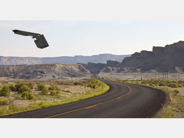
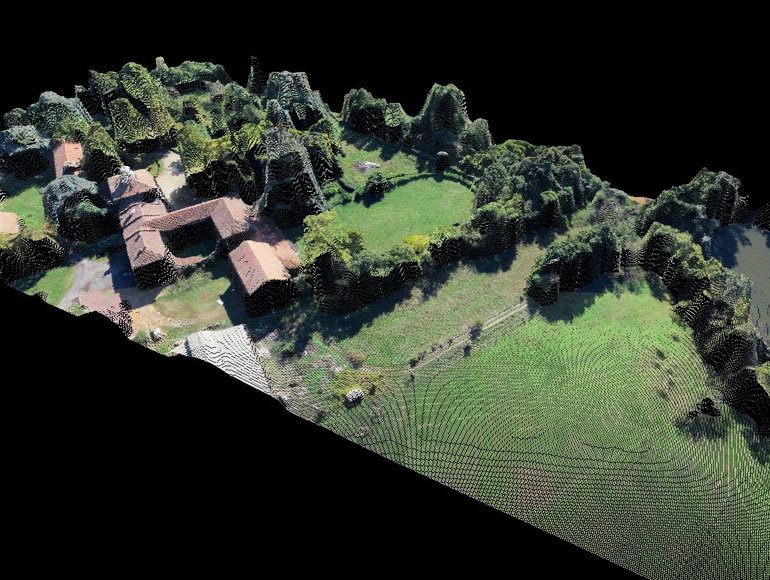
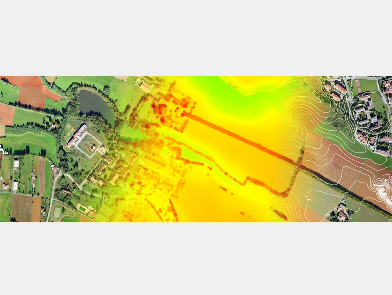
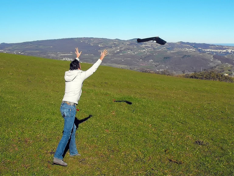
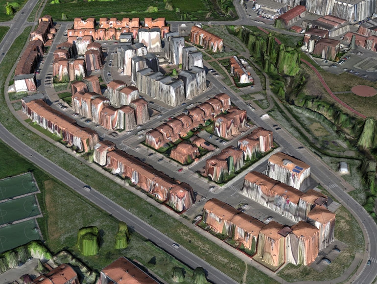
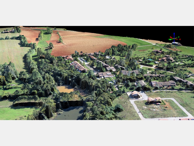
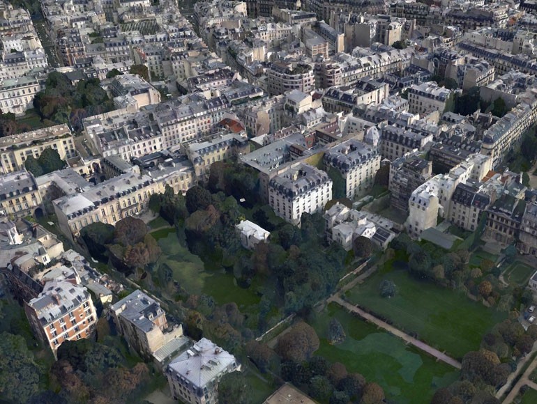
    We perform surveying and monitoring activities making use of remote-controlled aerial drones (UAV). With the latest generation of photogrammetric technique, determine metric data of an object (shape and position) is possible through the acquisition and analysis of a series of digital photo shoots. With this technique it is therefore possible to realize high-resolution three-dimensional models georeferenced in to the desired coordinate systems  thus obtaining:

  • Digital color Orthophoto image at high resolution (3-30cm/pixel depending on flight altitude)

  • Digital Terrain Models ( DEM ) excluding buildings and vegetation .

  • Digital surface models (DSM) which also identifies buildings, infrastructure , vegetation, etc..

  • 3D colored point cloud and direct export to cad

  • 3D contours lines models at the desired equidistance (25 -50cm) .

  • 3D vector models on triangular meshes ..

  • Very accurate site plans and digital cartography

  • Profile and cross sections.

  •  Volume analysis


    The use of drones can be useful and significantly reduces time and cost compared to other existing technologies for:

  •  Transmission line Design (line route study,accurate digital orthophotos site plan, elevation profiles, etc...).

  • Power Lines monitoring(existing towers, poles, insulators, and equipments...)

  • Mining and quarries (Volume analysis)

  • Urban residential districts and developmental areas

  • Construction sites

  • Disaster areas monitoring

  • Pipelines design (line route study,accurate digital orthophotos site plan, elevation profiles, etc...).

  • Road and railways design

  • Crop and forest damages


droni

ASK FOR A QUOTE

Need a quote for a service? Contact us for a free custom quote.

Contact us