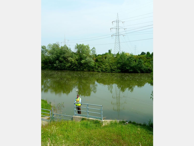
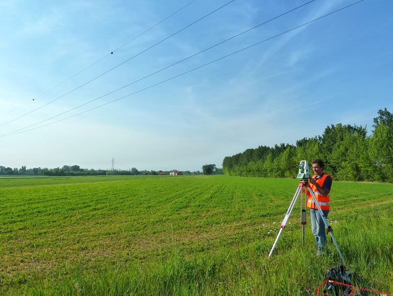
Establishment of a geodetic network by installing new benchmarks or using the existings ones and collect those coordinates information with GPS in a static mode
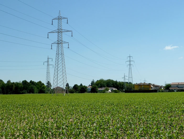
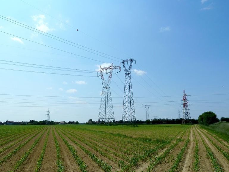
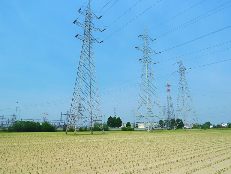
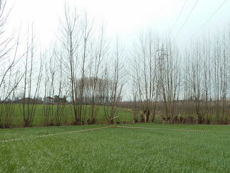
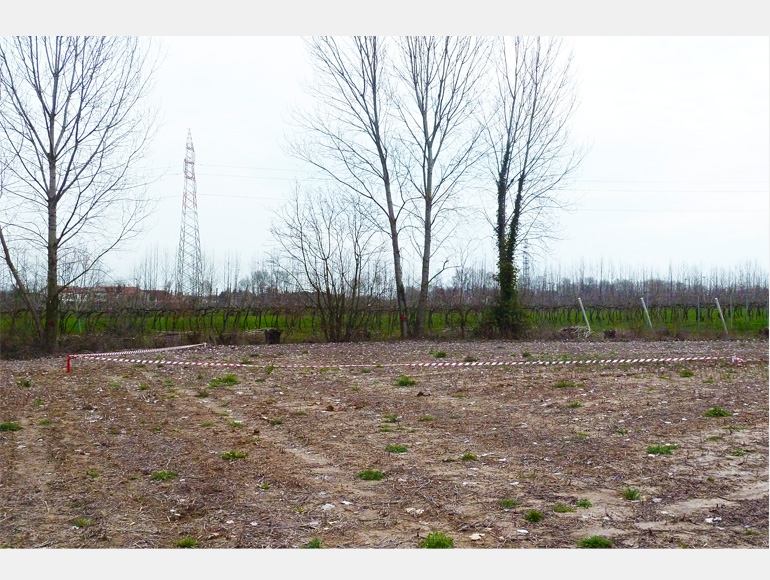
Detailed topographical survey inside the defined band and along the specified line route with GPS and total station in order to collect information regarding existing utilities such as roads, buildings, exixting power lines, railways,fences, etc..
3D survey plan (autocad drawing)
Provide Plan&Profile drawings (autocad drawings)
Provide crossings list
PLS-CADD model generation with topographical survey informations
Tower pegging activities
locate on the ground by pegs, the exact tower position according to the Tower Pegging Table through the use of GPS and Total Stations equipments in order to ensure the maximum accuracy.
ASK FOR A QUOTE
Need a quote for a service? Contact us for a free custom quote.