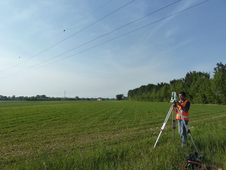
Establishment of a geodetic network by installing new benchmarks or using the existings ones and collect those coordinates information with GPS in a static mode
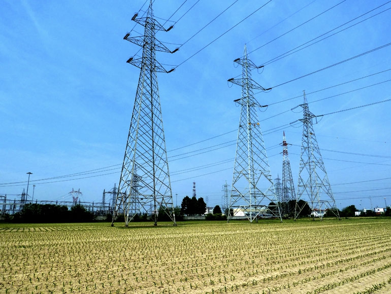
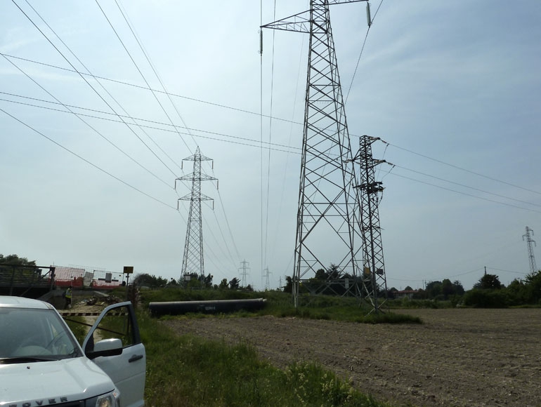
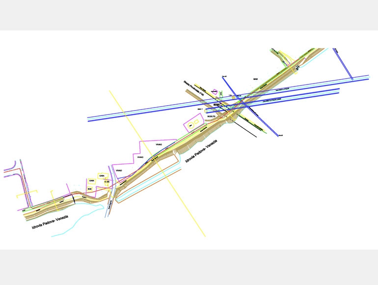
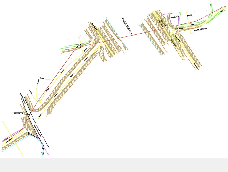
Detailed topographical survey inside the defined band and along the specified line route with GPS and total station in order to collect information regarding existing utilities such as roads, buildings, exixting power lines, railways,fences, etc..
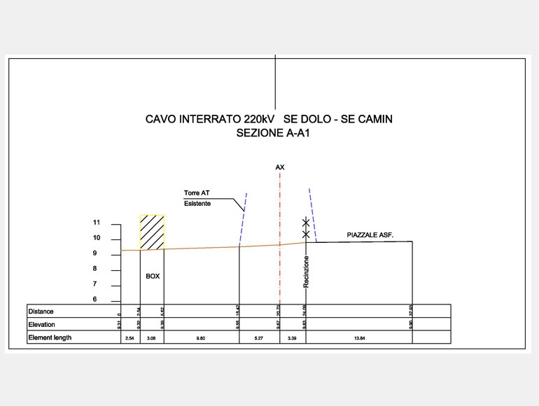
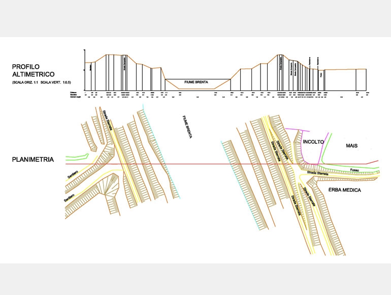
Plan&Profle drawings
3D land survey plan (autocad drawing).
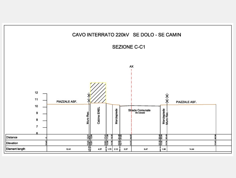
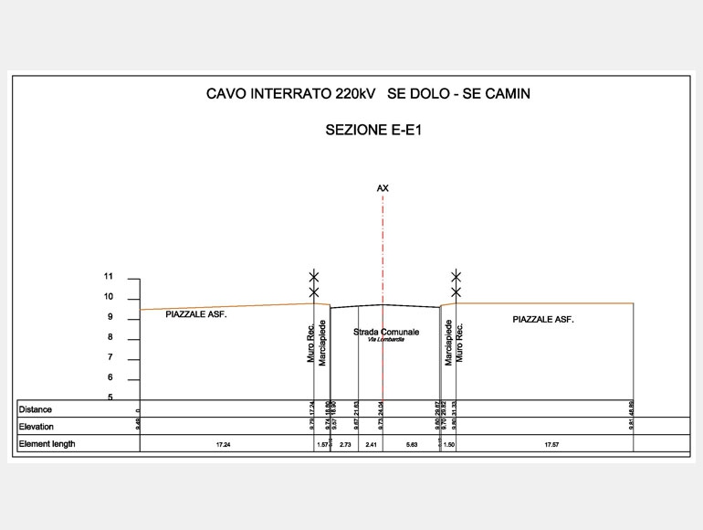
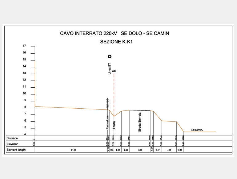
Detailed sections for each crossing such as roads, river, powerl lines, etc.. (autocad drawings)
ASK FOR A QUOTE
Need a quote for a service? Contact us for a free custom quote.