Satellite images processing and provide line route drawings
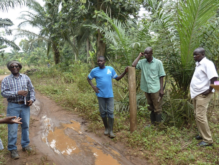
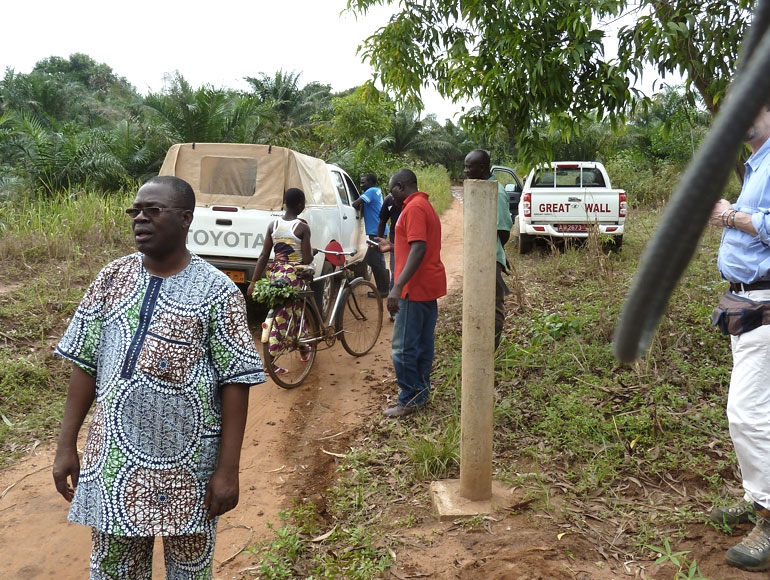
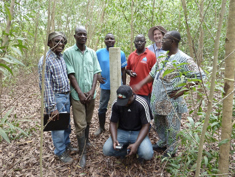
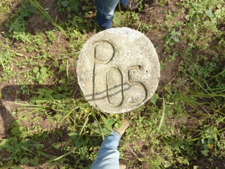
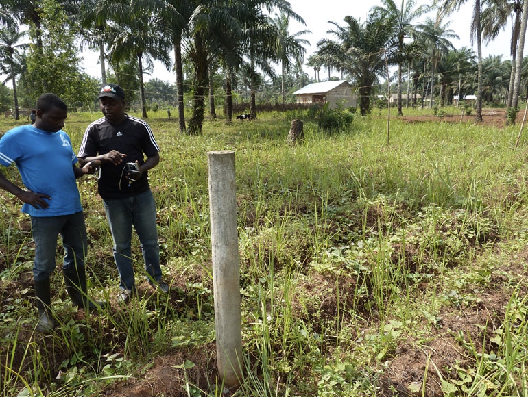
Establishment of a geodetic network by installing new benchmarks or using the existings ones and collect those coordinates information with GPS in a static mode
Detailed topographical survey inside the defined band and along the specified line route with GPS and total station in order to collect information regarding existing utilities such as roads, buildings, exixting power lines, railways,fences, etc..
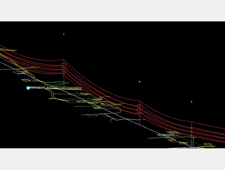
Tower Spotting by PLS-CADD software and provide Plan&Profile drawings.
Sag and Tension calculation for conductor and earth wire
Stacking chart, material list and tower pegging coordinates list
ASK FOR A QUOTE
Need a quote for a service? Contact us for a free custom quote.