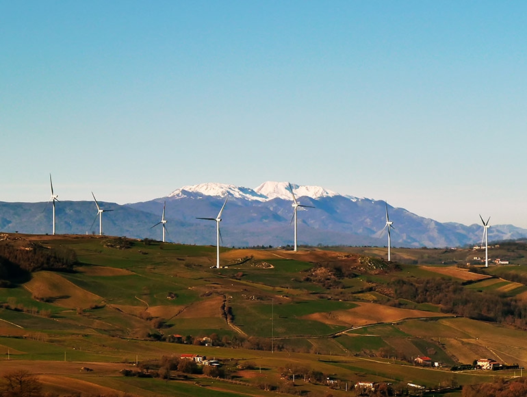
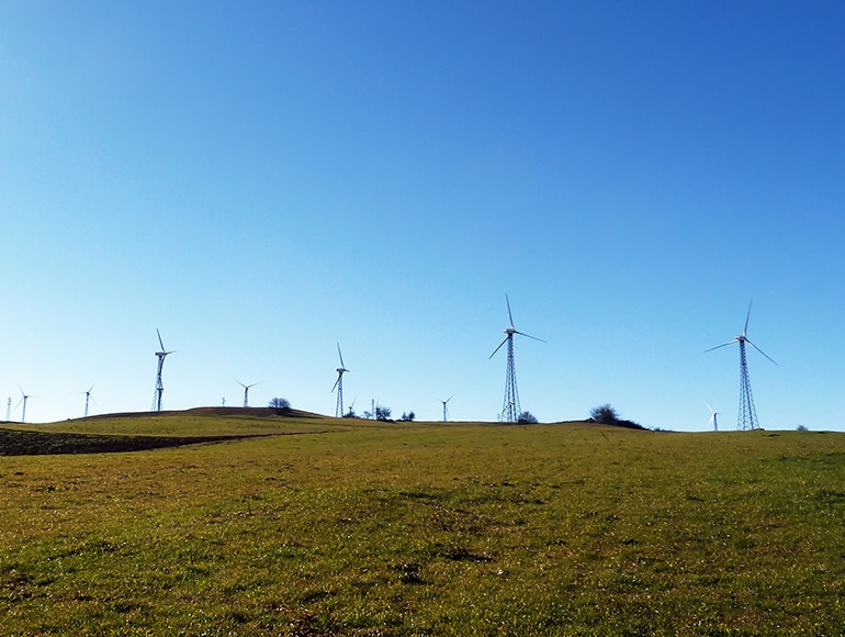
Client: Euclide for EDISON
Country: ITALIA
Year: 2013

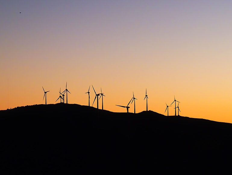
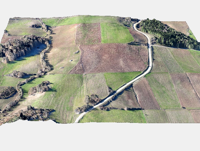
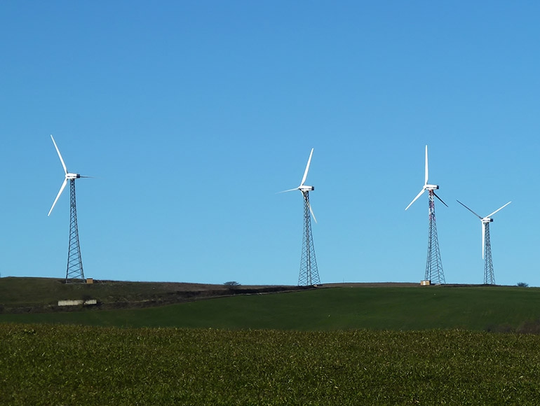
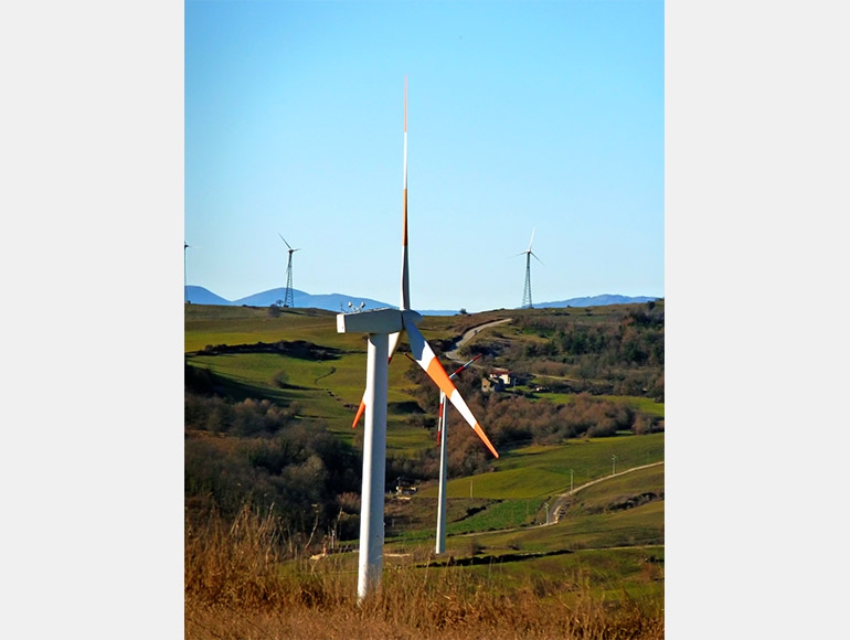
    Aerophotogrammetry survey of two areas (70ha in total) using UAV device for design and for future installation of two 3MW wind turbines .

  • Planning and setup drone flights: create path flight inside the desired areas, flight altitude, inclination camera perspective, take-off and landing parameters etc ...

  • UAV drone flight and acquiring the color stereo pair images

  • Processing the images with GPS and IMU data

  • Orthomosaic generation (GSD = 0.05m)  and radiometric color balancing

  • DSM generation (GSD=0.25m) Digital Surface Model

  • DTM generation (Digital Terrain Model without vegetation..).

  • 3D point cloud generation

  • 3D Contour lines model generation (0.50m step)

  • Images export into Google Maps and Google Earth


ASK FOR A QUOTE

Need a quote for a service? Contact us for a free custom quote.

Contact us