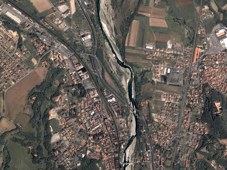
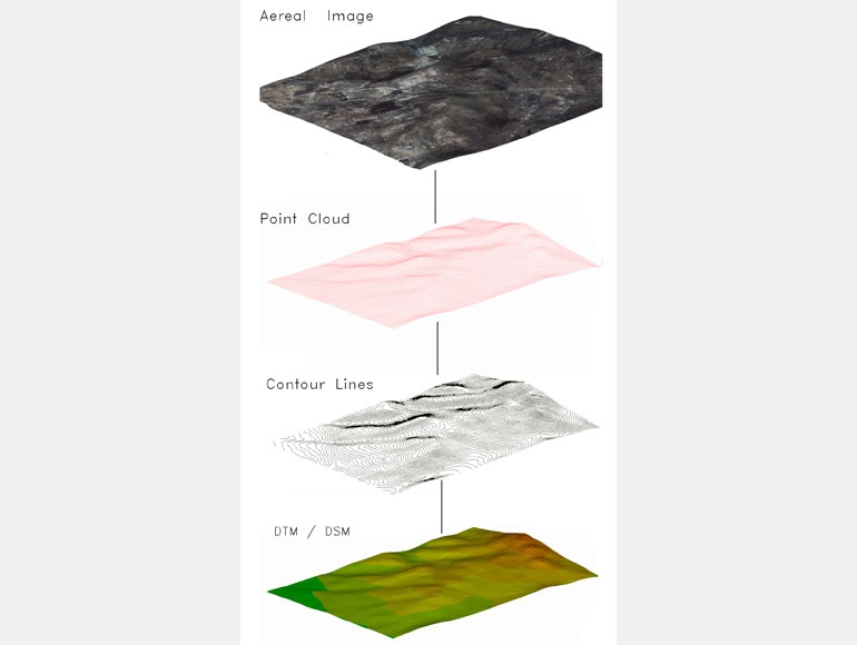
Scanning and digitizing of maps from any source: paper, aerial and satellite imagery, topographic surveys with traditional instrumentation or GPS and LIDAR
Georeferencing raster and vector maps based on any geographic reference system.
Production of thematic maps plans, maps of administrative boundaries, environmental constraints maps and other...
Design, maintenance and manipulation of geographical information
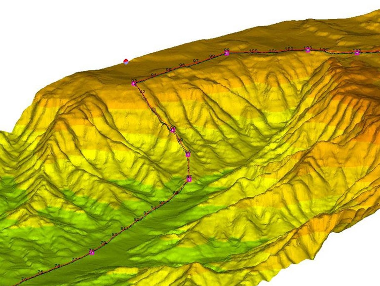
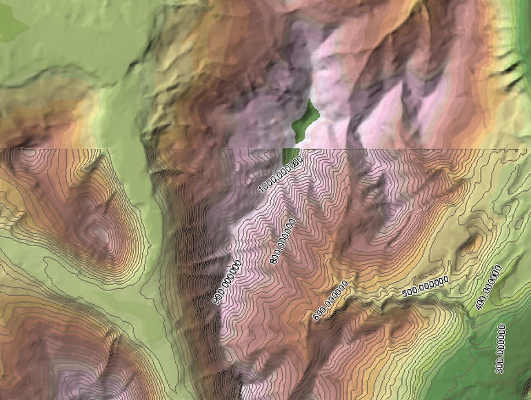
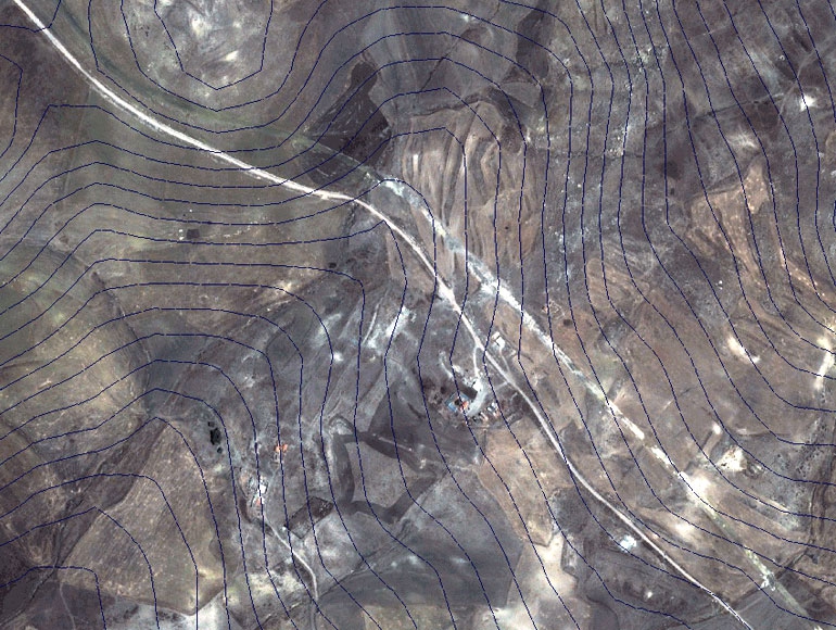
Vectorization of contour line maps and 3D models processing, profile and cross sections.
DTM (Digital Terrain Model) processing to obtain longitudinal profiles and sections.
Using photogrammetric methods, lidar data sets, and other remote sensing data, we develop accurate topographic maps
ASK FOR A QUOTE
Need a quote for a service? Contact us for a free custom quote.